What is the Geographic Area, Population, and Division of Jammu & Kashmir?
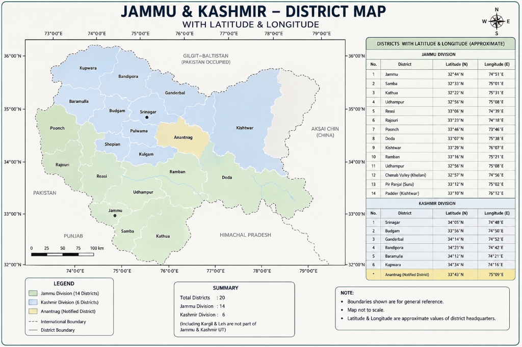
The Union Territory of Jammu & Kashmir covers an administrative area of 42,241 square kilometers across 20 districts. It is divided into Jammu Division (10 districts, 26,293 sq km) and Kashmir Division (10 districts, 15,948 sq km). The total population is approximately 12.55 million according to the Census of India.
📍 Where is Jammu & Kashmir? Location, Boundaries & Coordinates
Jammu & Kashmir is a Union Territory in northern India, situated in the western Himalayan and Pir Panjal mountain ranges. It occupies a pivotal geopolitical position in South Asia, linking the Indian plains with the high alpine valleys of Central and Inner Asia.
• Longitude: 72°31′ E to 80°20′ E
• Total Area: 42,241 km²
• North & East: Ladakh Union Territory
• West & Northwest: Pakistan & PoJK (across LoC)
• Kashmir: Oval lacustrine valley & Jhelum basin
• Mountain Walls: Pir Panjal & Great Himalayas
Jammu: A Land of Unrivaled Natural Beauty
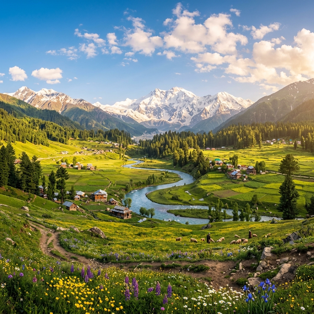
From the purple lavender valleys of Bhaderwah to the high-altitude pine meadows of Patnitop, the seven glacial alpine tarns of Poonch, and the emerald waters of Mansar Lake—Jammu holds some of the Himalayas' most breathtaking landscapes.
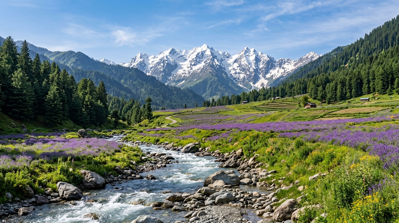
🌸 Bhaderwah ("Valley of Flowers")
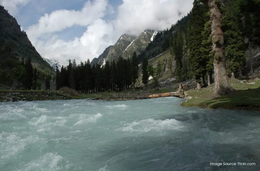
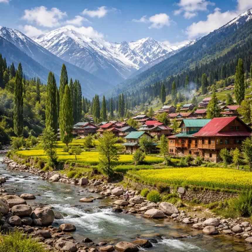
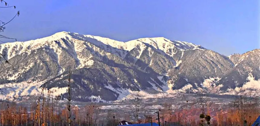
Known as "Mini Kashmir", featuring vast rolling deodar pine forests, sparkling Neeru river rapids, and endless purple lavender fields blooming under the snow-capped Seoj Dhar ranges.
🌲 Patnitop & Sanasar Meadows
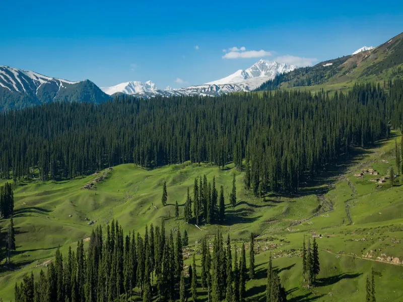
Perched at 2,024m along the Shivalik belt, offering panoramic views of the Pir Panjal mountain range, dense coniferous forests, and quiet alpine lakes surrounded by wild flowers.
🏔️ The 7 Alpine Tarns of Poonch
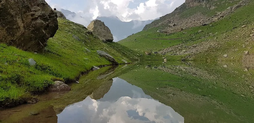
Hidden in the upper Pir Panjal high passes: seven crystal-clear glacial lakes including Nandan Sar, Chandan Sar, Bhag Sar, Sukhsar, and Katori Sar.
🐢 Mansar & Surinsar Twin Lakes
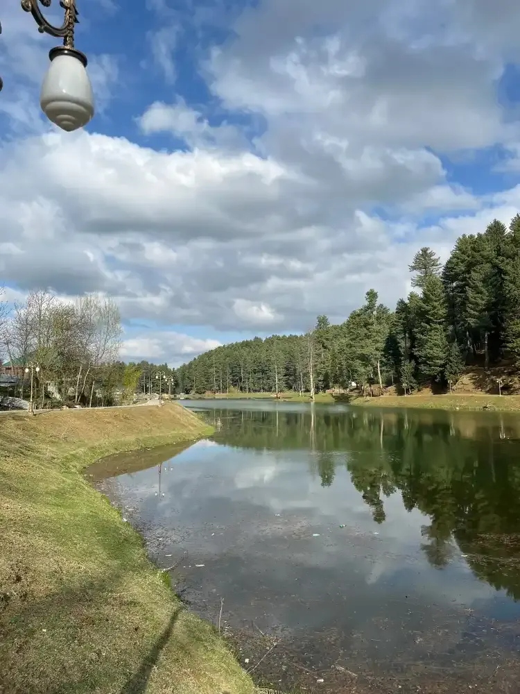
Sacred emerald-green lakes fringed by pine-covered hills, home to lotus blossoms, rare freshwater turtles, and serene walking trails.
💎 Kishtwar & Paddar Valley
Home to Kishtwar High-Altitude National Park, world-famous Paddar Kashmiri Blue Sapphire mines, saffron terraces, and towering peaks like Brammah and Sickle Moon.
🌉 Chenab River Gorge & Arch Bridge
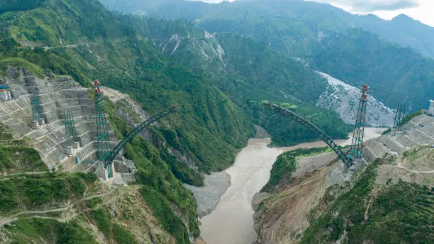
The mighty Chenab river carving deep granite gorges in Reasi, spanned by the world’s highest railway arch bridge (Chenab Bridge at 359m elevation).
Udhampur as a View: Panoramic Mountain Vistas
Udhampur offers some of the Western Himalayas' most stunning panoramic vistas—from Patnitop's snow-crowned Pir Panjal ridges to Sanasar alpine cup meadows, Mantalai pine valleys, and Krimchi's ancient Nagara stone spires.
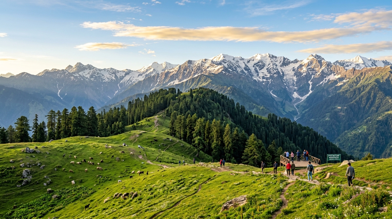
🌲 Patnitop Pine Ridge Panorama
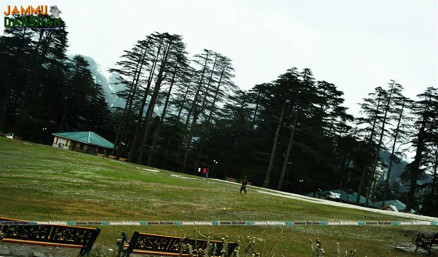
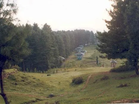
Perched at 2,024m elevation, offering 360-degree views of the Pir Panjal mountain range, deep Chenab river gorges, and thick deodar pine forest canopies.
🪁 Sanasar Alpine Cup Meadow
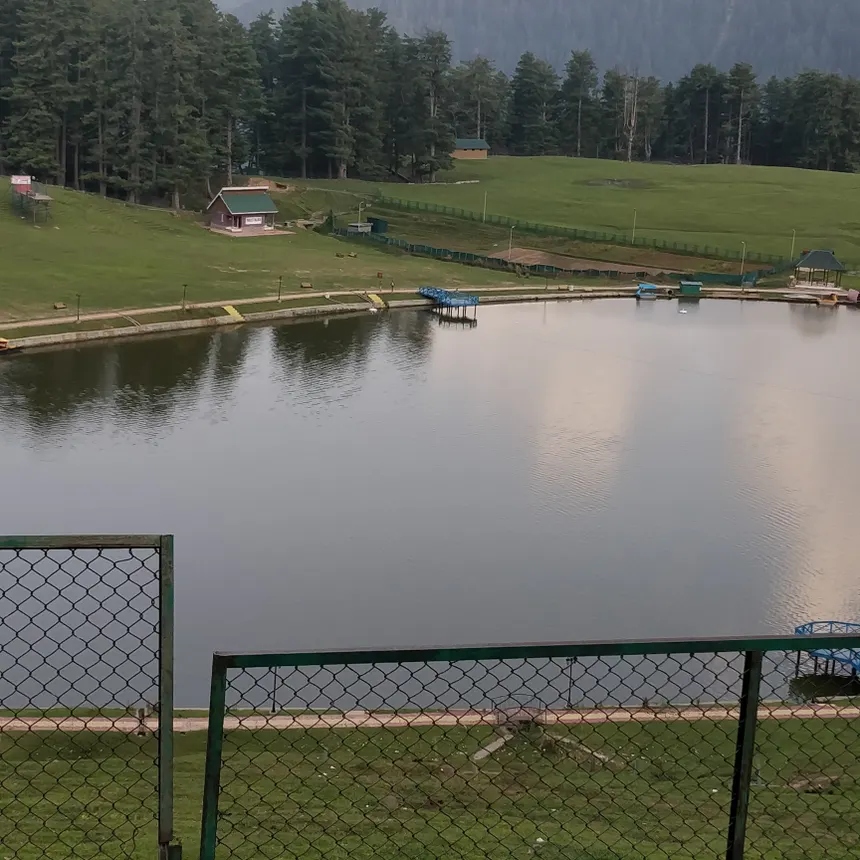
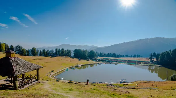
A quiet, cup-shaped alpine meadow at 2,070m surrounded by coniferous pine forests and a tranquil lake—India’s premier paragliding and eco-viewing destination.
🛕 Krimchi Temple Valley View
The 8th-century Nagara stone spires (*Shikharas*) rising dramatically against a backdrop of green Shivalik hills, terraced fields, and mountain streams.
🔱 Mantalai Himalayan Ridge
Pine-forested valley leading to Mantalai at the foot of snow-capped peaks, where the sacred Devak stream flows through lush alpine meadows.
🏰 Ramnagar Fort & Tawi Gorge
Perched high on a rocky cliff, the 1844 Ramnagar Fort commands sweeping views of the winding Tawi river gorge and surrounding forested hills.
🚡 Skyview Patnitop Cable Car
Asia's highest ropeway tower spanning Sanget to Patnitop, providing an unforgettable aerial view over pine treetops, terraced farms, and mountain cliffs.
Top Travel Spots in Ramban District
Explore the secluded alpine hamlets, thermal hot springs, historic mountain forts, and roaring river gorges of Ramban District along the Western Himalayas.
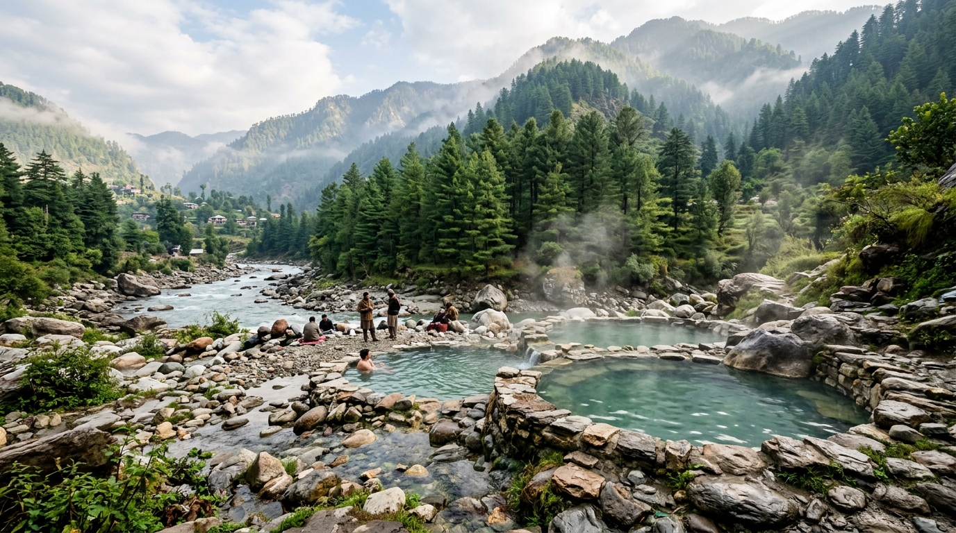
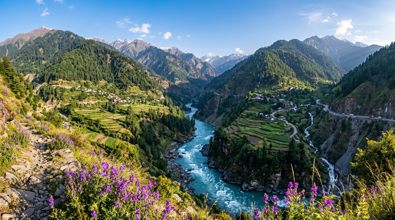
♨️ Gool Tatapani Hot Springs
A famous natural thermal hot spring resort in Gool valley, renowned for therapeutic sulfur baths surrounded by pine forests, mountain streams, and camping grounds.
🌲 Pogal-Paristan ("Virgin Valley")
An unspoiled, secluded alpine valley featuring wooden Pahadi houses, step-terraced maize farms, crystal-clear streams, and cold mountain breeze.
🏰 Gajpat Fort & Ridge
A historic mountain fort perched high on a steep ridge above Ramban town, offering panoramic views of the Chenab river loop and the National Highway 44 mountain pass.
🏔️ Mahu-Mangit Alpine Meadows
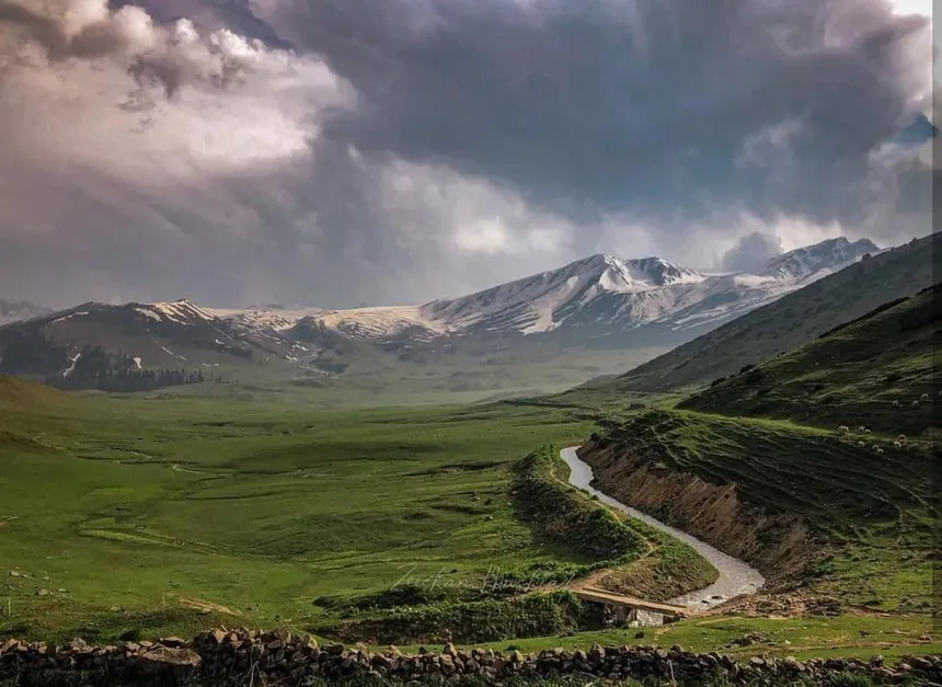
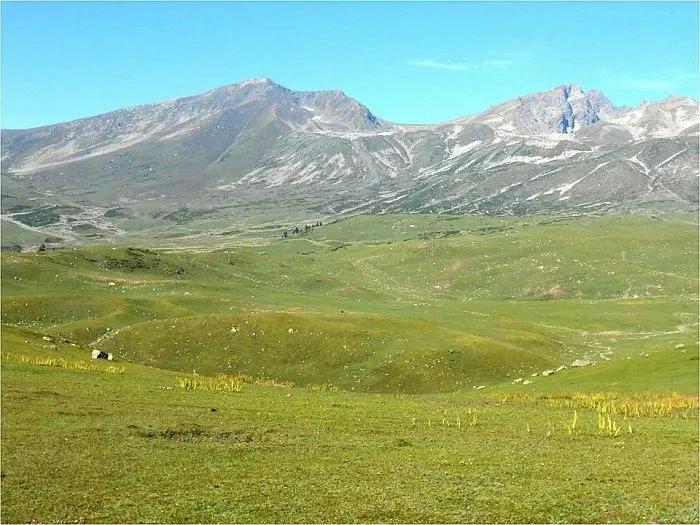
High-altitude alpine pastures located along the upper Pir Panjal range, ideal for summer wilderness trekking, pastoral transhumance viewing, and photography.
🏞️ Sanasar-Ramban Border Meadows
Rolling green alpine pastures along the Ramban-Udhampur district border, popular for paragliding, eco-camping, and pine forest nature walks.
🌉 Banihal Pass & Qazigund Tunnel
The gateway town of Banihal at the northern foot of Ramban, home to the 8.45 km Navayuga Banihal-Qazigund all-weather tunnel and high-speed railway engineering works.
Geospatial & Administrative Profile of All 20 J&K Districts
Jammu & Kashmir comprises 20 administrative districts divided equally across two geographical divisions: Kashmir Valley Division (10 Districts) and Jammu Division (10 Districts). Explore official demographic baselines (Census 2011), elevations, river catchments, passes, and economic specializations below.
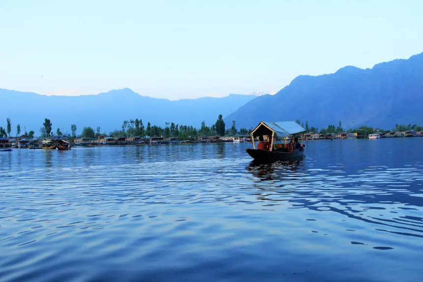
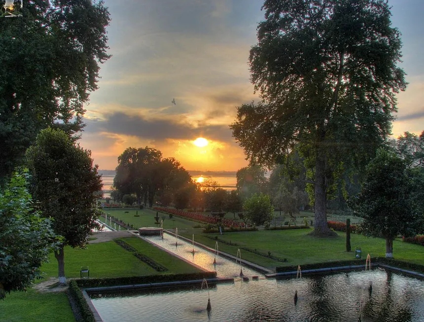
Srinagar District
Ganderbal District
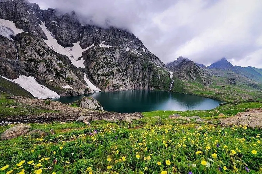
Budgam District
Anantnag District
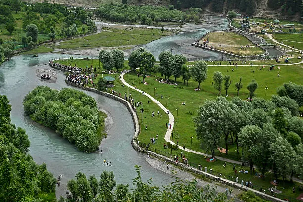
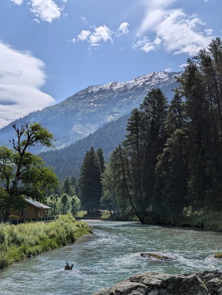
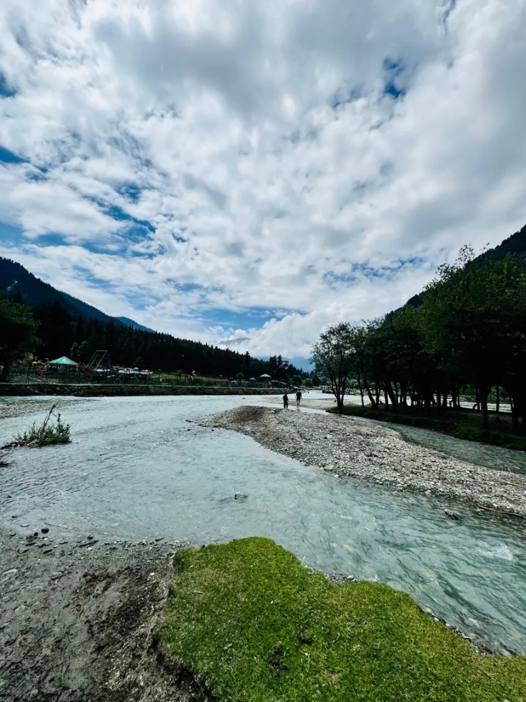
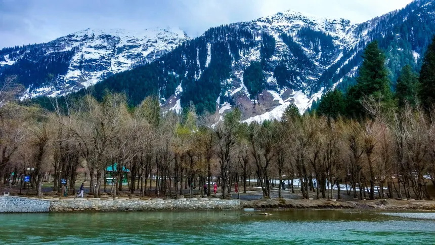
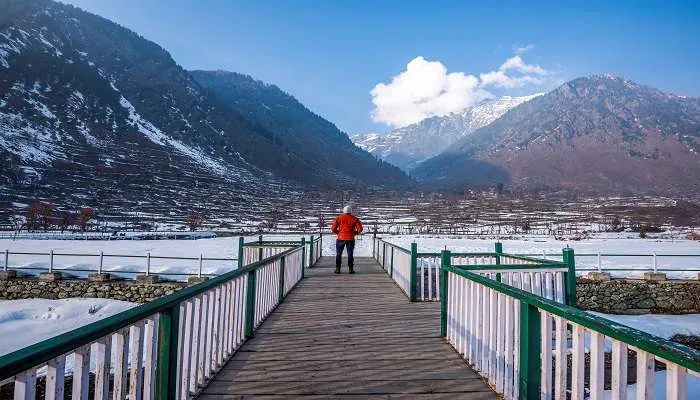
Pulwama District
Kulgam District
Shopian District
Baramulla District
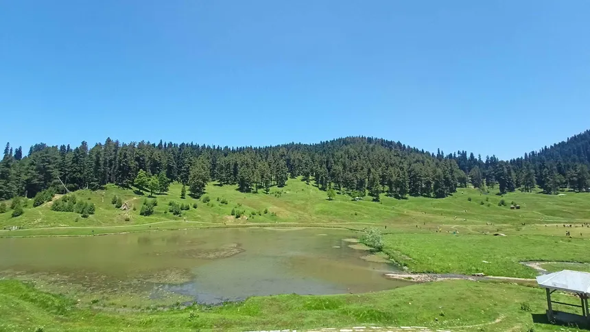
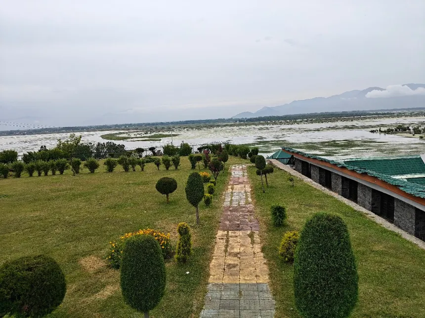
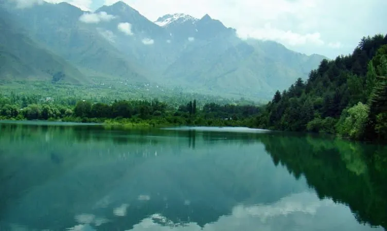
Kupwara District
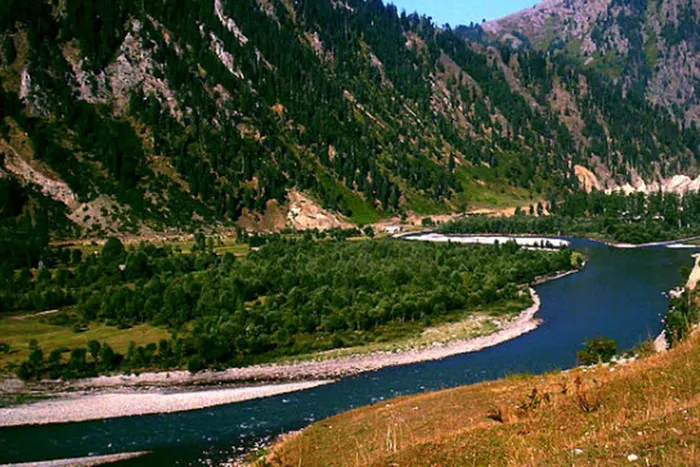
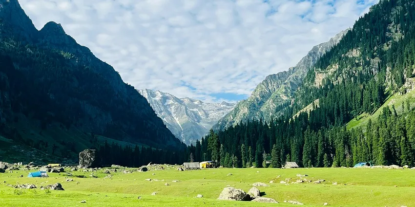
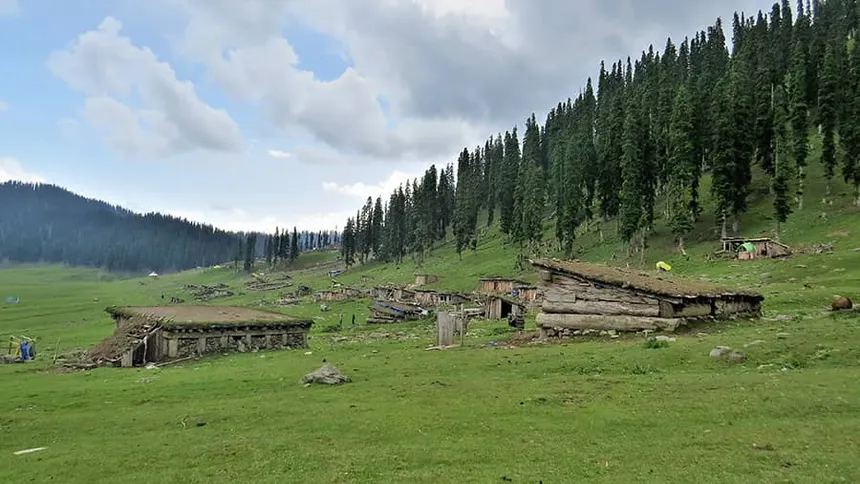
Bandipora District
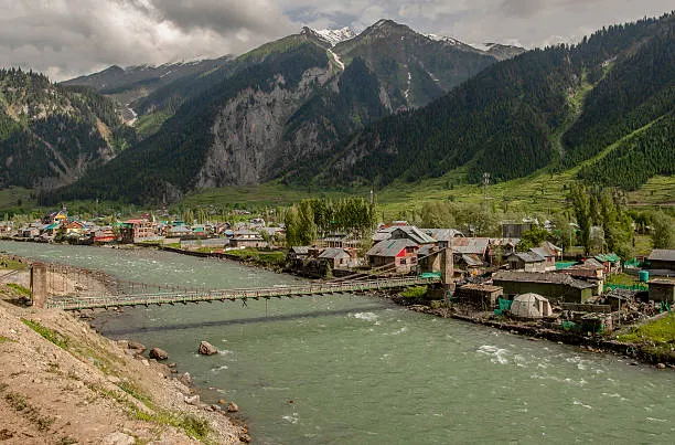
Jammu District
Reasi District
Udhampur District
Kathua District
Samba District
Ramban District
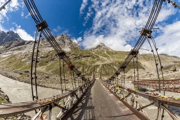
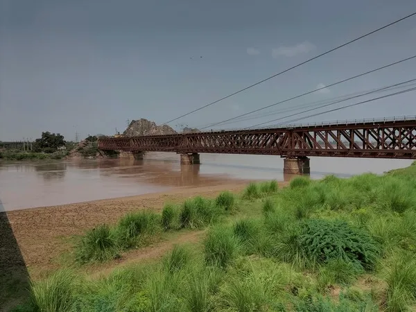
Doda District
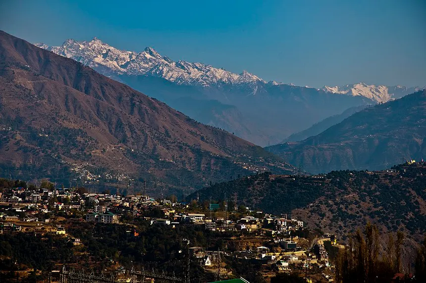
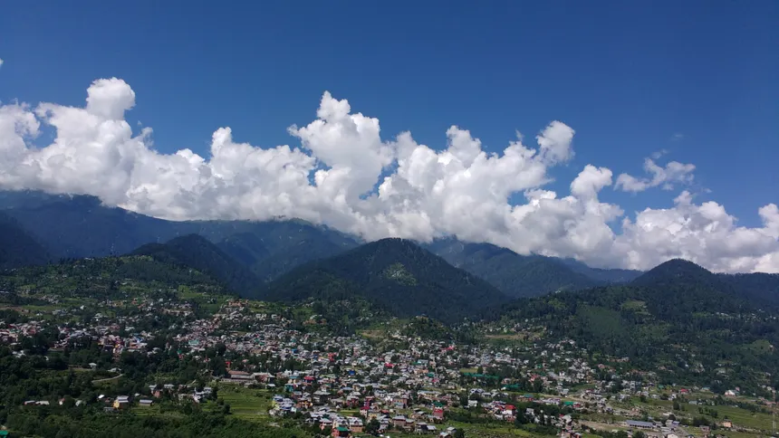
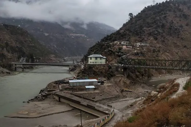
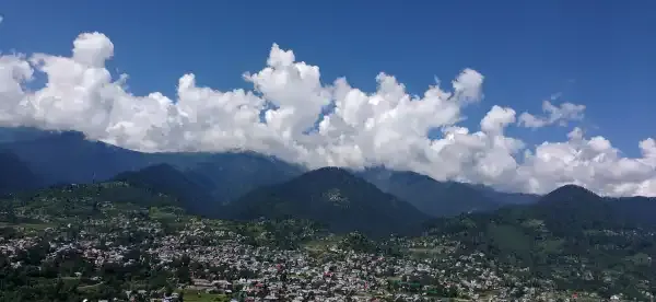
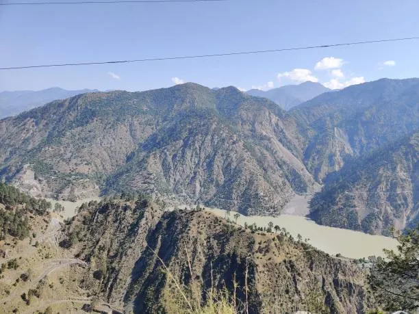
Kishtwar District
Rajouri District
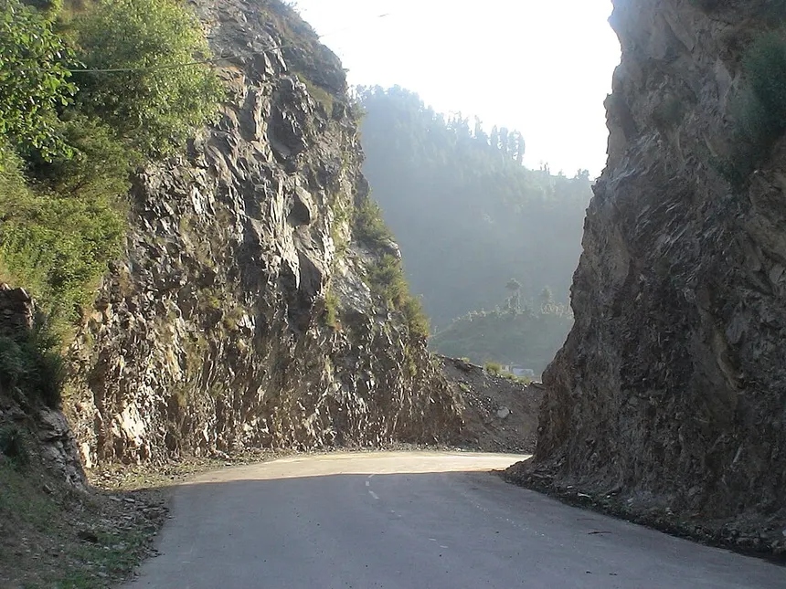
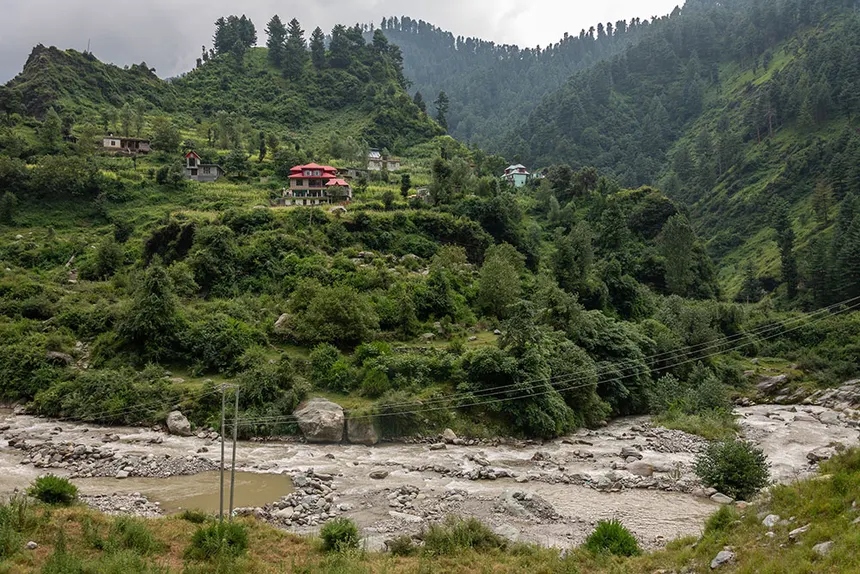
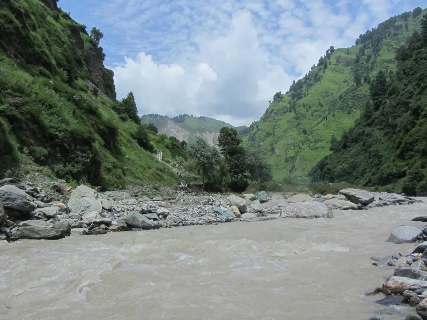
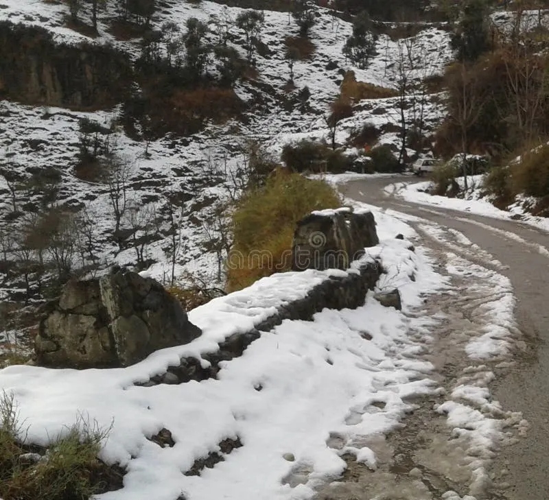
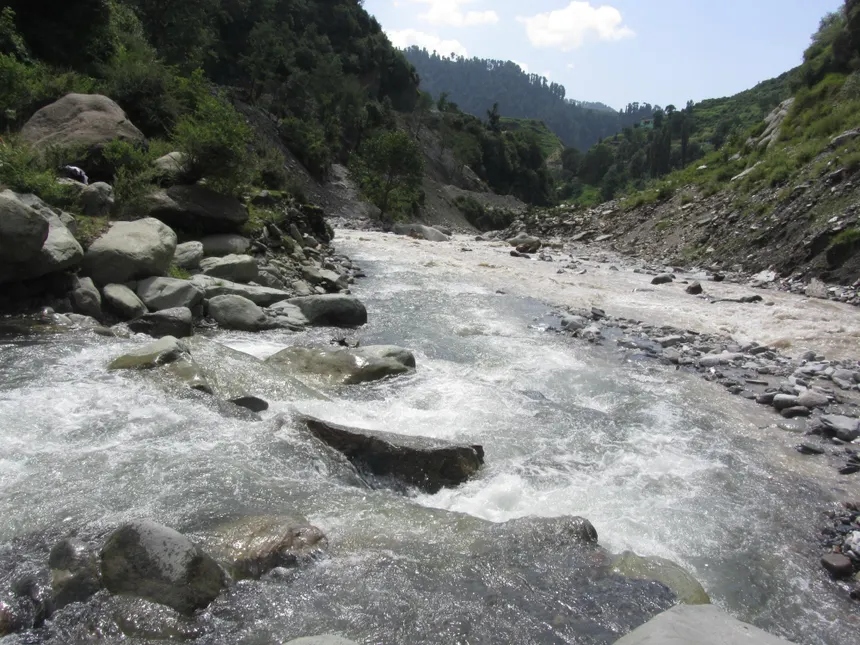
Poonch District
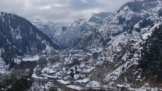
📊 Master 20-District Comparative Geography & Census Table
| District | Division | Headquarters | Area (km²) | Population (Census 2011) | Elevation | Primary GI / Economic Specialization |
|---|---|---|---|---|---|---|
| Srinagar | Kashmir | Srinagar City | 1,979 km² | 12.36 Lakhs (Census 2011) | 1,585 m (5,200 ft) | Tourism, GI Pashmina & Kani Shawl weaving, Hand-knotted Silk Carpets, Wood Carving, Paper Machie, IT & Commerce. |
| Ganderbal | Kashmir | Ganderbal | 1,045 km² | 2.97 Lakhs (Census 2011) | 1,619 m (5,312 ft) | Upper Sindh Hydropower Projects, Cold-water Trout Fisheries, Walnut production, Agro-tourism. |
| Budgam | Kashmir | Budgam | 1,371 km² | 7.53 Lakhs (Census 2011) | 1,610 m (5,282 ft) | Kanihama GI Kani Shawl weaving village, High-Density Apple Orchards, Brick Kiln industry, Pottery. |
| Anantnag | Kashmir | Anantnag (Islamabad) | 3,574 km² | 10.78 Lakhs (Census 2011) | 1,600 m (5,249 ft) | Kashmiri Willow Cricket Bat manufacturing cluster (Bijbehara/Sangam), Trout hatcheries, Walnuts, Apples. |
| Pulwama | Kashmir | Pulwama | 1,090 km² | 5.60 Lakhs (Census 2011) | 1,630 m (5,348 ft) | Kashmir Saffron (GI Tagged, Crocin Grade A+), Dairy Production ('Milk Grid of J&K'), Almond & Apple Orchards. |
| Kulgam | Kashmir | Kulgam | 1,067 km² | 4.24 Lakhs (Census 2011) | 1,738 m (5,702 ft) | Paddy agriculture ('Rice Bowl of Kashmir'), Apple horticulture, Cold-water fisheries. |
| Shopian | Kashmir | Shopian | 612 km² | 2.66 Lakhs (Census 2011) | 2,057 m (6,749 ft) | Premium Grade Delicious, Kulu, and Gala Apples, Walnut exports, High-Density Apple farming. |
| Baramulla | Kashmir | Baramulla | 4,243 km² | 10.08 Lakhs (Census 2011) | 1,592 m (5,223 ft) | Winter sports & skiing tourism, High-yield Apple horticulture (Sopore Apple Mandi — largest in Asia), Walnut processing. |
| Kupwara | Kashmir | Kupwara | 2,379 km² | 8.70 Lakhs (Census 2011) | 1,615 m (5,299 ft) | Forestry timber, Walnuts, Red rice, Cold-climate apples, Apiculture (honey). |
| Bandipora | Kashmir | Bandipora | 345 km² (Settled land area; ~3,000 km² administrative) | 3.92 Lakhs (Census 2011) | 1,578 m (5,177 ft) | 330 MW Kishanganga Hydroelectric Project, Wular fisheries & Water chestnut (Singhara) harvesting, Handicrafts. |
| Jammu | Jammu D | Jammu City | 2,342 km² | 15.30 Lakhs (Census 2011) | 327 m (1,073 ft) | Trade & commercial hub, Basmati Rice cultivation (R.S. Pura GI Rice), Industrial estates (Bari Brahmana), Tourism transit. |
| Reasi | Jammu D | Reasi | 1,719 km² | 3.15 Lakhs (Census 2011) | 753 m (2,470 ft) | High-volume pilgrimage tourism (8–9M annual pilgrims), Salal Hydropower generation, Limestone, Lithium deposits (Salal-Haimana block). |
| Udhampur | Jammu D | Udhampur | 2,380 km² | 5.55 Lakhs (Census 2011) | 756 m (2,480 ft) | Kalari Cheese (GI registered indigenous Dogra ripened cheese), Defense establishments, Horticulture. |
| Kathua | Jammu D | Kathua | 2,502 km² | 6.16 Lakhs (Census 2011) | 393 m (1,289 ft) | Basohli GI Miniature Paintings, Basohli Pashmina weaving, Cement manufacturing & Industrial complexes, Ujh Multipurpose Project. |
| Samba | Jammu D | Samba | 904 km² | 3.19 Lakhs (Census 2011) | 384 m (1,260 ft) | Calico hand-block printing, SIDCO Industrial Complex (Pharma & Manufacturing), Traditional wheat and mustard farming. |
| Ramban | Jammu D | Ramban | 1,329 km² | 2.84 Lakhs (Census 2011) | 1,156 m (3,793 ft) | Hydropower generation, Highway transit economy, Walnut and quince fruit production. |
| Doda | Jammu D | Doda | 2,306 km² | 4.10 Lakhs (Census 2011) | 1,107 m (3,632 ft) | Aroma Mission & Purple Revolution (Lavender Essential Oil hub), Bhaderwah Rajmash (GI Tagged red kidney beans), Cedar/Deodar timber. |
| Kishtwar | Jammu D | Kishtwar | 7,737 km² (Largest district in J&K) | 2.31 Lakhs (Census 2011) | 1,638 m (5,374 ft) | Kishtwar Sapphire (Paddar mines — world famous cornflower blue sapphire), Kishtwar Saffron, Major Hydropower Cascade (Pakal Dul 1,000 MW, Kiru 624 MW, Kwar 540 MW, Ratle 850 MW). |
| Rajouri | Jammu D | Rajouri | 2,630 km² | 6.42 Lakhs (Census 2011) | 915 m (3,002 ft) | Rajouri Chikri Woodcraft (GI Tagged), Maize and wheat agriculture, Dairy farming. |
| Poonch | Jammu D | Poonch | 1,674 km² | 4.77 Lakhs (Census 2011) | 981 m (3,219 ft) | Mountain agriculture, Horticulture (Walnuts, Plums), Traditional handicrafts. |
📌 Verify latest notification/rules: Population figures represent official Census of India 2011 records. Area measurements reflect revenue boundaries post-2019 UT reorganisation.
🌊 J&K Master River Basins & Drainage Systems
Jammu & Kashmir's hydrology is structured around two massive Himalayan drainage arteries—the Jhelum River Basin (draining the intermontane Kashmir Valley) and the Chenab River Basin (carving deep gorges through the Jammu Himalayas), supplemented by the Tawi and Ravi systems:
River Jhelum (Vitasta / Hydaspes)
- Hydrological Origin: Springs from the deep octagonal limestone pool at Verinag in Anantnag District.
- Right-Bank Tributaries: Lidder River, Sindh River (joins at Shadipora), Erin Nallah, Madhumati Stream.
- Left-Bank Tributaries: Veshav River, Rambiara River, Romshi Stream, Doodhganga, Sukhnag, Pohru River.
- Natural Delta & Outlet: Expands into Wular Lake (Asia's largest freshwater lake), exits Kashmir through the deep granite gorge at Baramulla into PoK.
River Chenab (Asikni / Chandrabhaga)
- Hydrological Origin: Formed in Himachal Pradesh by confluence of Chandra and Bhaga rivers at Tandi, enters J&K at Paddar in Kishtwar.
- Key Tributaries: Marusudar River (largest tributary, joins at Bhandarkoot), Neeru River (Bhaderwah), Bichleri, Ans River.
- Hydropower Cascade: Pakal Dul (1,000 MW), Dul Hasti (390 MW), Baglihar (900 MW), Salal (690 MW), Ratle (850 MW).
- Plains Transition: Carves through Reasi beneath the world's highest rail bridge and enters the plains at Akhnoor in Jammu.
Tawi & Ravi River Systems
- River Tawi ('Surya Putri'): Originates from Kali Kundi glacier in Bhaderwah; flows through Chenani, Udhampur, and Jammu City before joining Chenab in Pakistan.
- River Ravi: Forms the southeastern boundary of J&K in Kathua District; impounded by the massive Ranjit Sagar Dam (Thein Dam).
- Subterranean Devika River: Sacred underground stream flowing through Udhampur, Purmandal, and Utterbehni in Samba.
📌 Verify latest notification/rules: River discharge levels and flood danger gauges (Sangam, Ram Munshi Bagh, Asham) are monitored in real time by the Irrigation & Flood Control (I&FC) Department.
⛰️ Mountain Passes & High-Altitude Gateways
Key mountain passes that cut through the Pir Panjal, Great Himalayas, and Zanskar ranges to link isolated valleys, districts, and neighboring regions:
| Mountain Pass | Altitude | Mountain Range | Connects (Route) | Strategic & Transit Status |
|---|---|---|---|---|
| Zojila Pass | 3,528 m (11,575 ft) | Great Himalayas | Ganderbal (Kashmir) ➔ Dras / Kargil / Leh (Ladakh) on NH-1D | Lifeline of Ladakh; 14.15 km Zojila All-Weather Tunnel under construction. |
| Sinthan Top | 3,748 m (12,297 ft) | Pir Panjal Range | Anantnag (Kashmir) ➔ Kishtwar (Jammu) via NH-244 | Crucial alternative inter-division transit highway via Daksum-Chhatroo. |
| Peer Ki Gali (Pir Panjal Pass) | 3,490 m (11,450 ft) | Pir Panjal Range | Shopian (Kashmir) ➔ Bafliaz / Rajouri / Poonch (Jammu) via Mughal Road | Historic imperial route; operational during snow-free months (May–Nov). |
| Razdan Pass | 3,557 m (11,672 ft) | Harmukh / Great Himalayas | Bandipora ➔ Gurez Valley | High-altitude snow corridor linking border Gurez Valley across Tragbal ridge. |
| Sadhna Pass (Nastachun) | 3,124 m (10,250 ft) | Shamsbari Range | Kupwara ➔ Karnah / Tangdhar (LoC frontier) | Strategic lifeline for frontier Karnah valley across Shamsbari mountains. |
| Banihal Pass (Navyug Tunnel Corridor) | 2,832 m (9,291 ft) | Pir Panjal Range | Ramban (Jammu) ➔ Qazigund / Anantnag (Kashmir) on NH-44 | Bypassed by 8.45 km twin-tube Navyug Tunnel & 11.2 km USBRL rail tunnel. |
| Padri Pass | 3,000 m (9,842 ft) | Pir Panjal / Shivalik fringe | Bhaderwah (Doda) ➔ Chamba (Himachal Pradesh) | Scenic alpine meadow pass linking Jammu region directly to Himachal. |
📌 Verify latest notification/rules: Pass opening schedules and snow clearance updates are issued by the J&K Traffic Police and BRO. Always check real-time road advisories before winter travel.
Reasi as a Tourist & Pilgrimage Sanctuary
Reasi District is one of the world's most famous spiritual and eco-tourism hubs—home to the sacred Shri Mata Vaishno Devi Shrine, the world's highest Chenab Railway Arch Bridge, Shiv Khori cave shrine, and pristine waterfalls.
🛕 Shri Mata Vaishno Devi Shrine (Katra)
India's premier pilgrimage destination drawing 8–9 million devotees annually. Base camp Katra leads to the 13km sacred mountain trek to the holy natural cave containing the three Pindies.
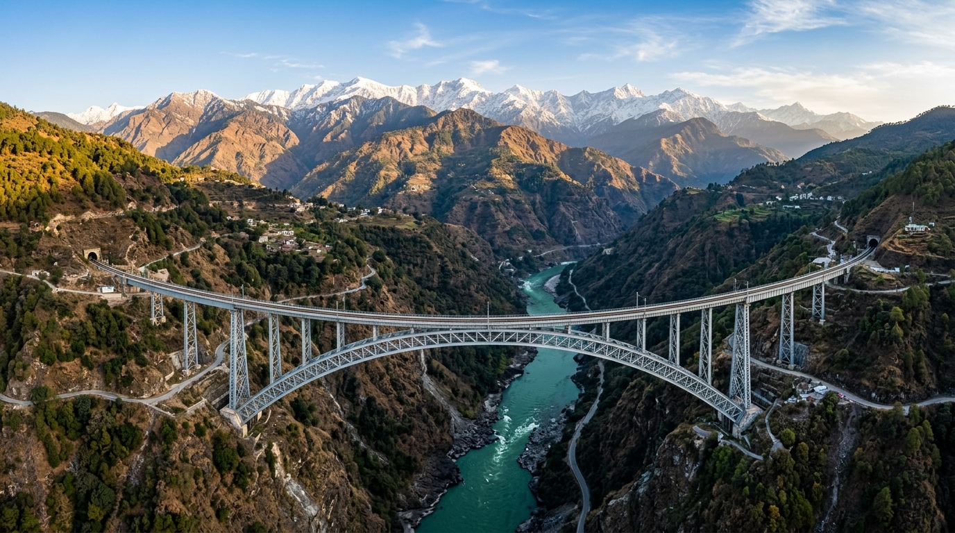
🌉 Chenab Railway Arch Bridge (359m)
A global engineering marvel: the world's highest railway arch bridge standing 359 meters above the Chenab riverbed (35 meters taller than Paris's Eiffel Tower) linking Kashmir to India's railway grid.
🔱 Shiv Khori Cave Shrine (Ransoo)
Famous natural limestone cave shrine dedicated to Lord Shiva. Features a naturally formed 4-foot-high Shivling, continuous water drips, and limestone formations resembling Lord Shiva's hair locks (*Jata*).
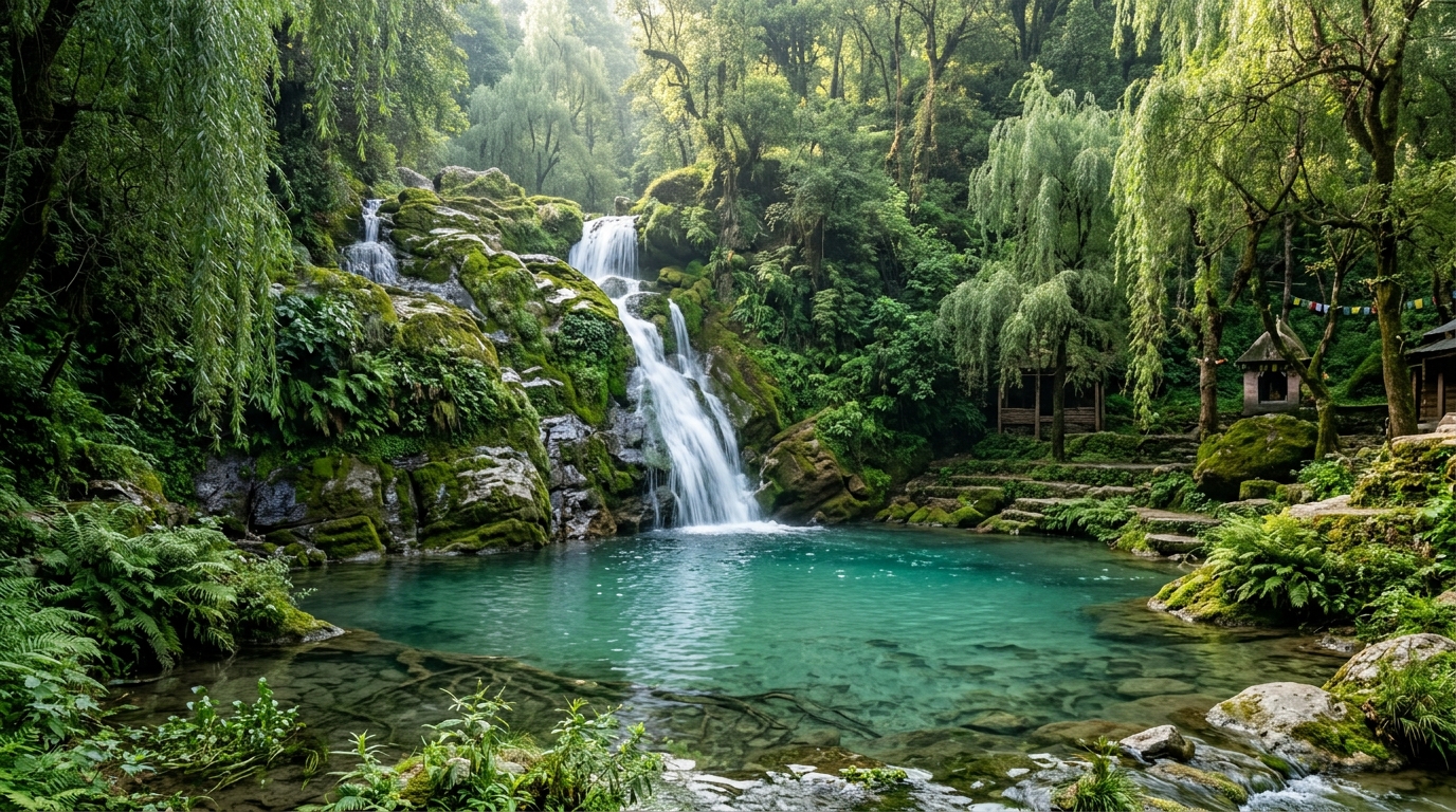
💧 Baba Dhansar & Siar Baba Waterfalls
Baba Dhansar features sacred turquoise water spring pools and a natural Shiva cave, while Siar Baba is a roaring 100-foot natural waterfall cascading into a deep pool along the Chenab.
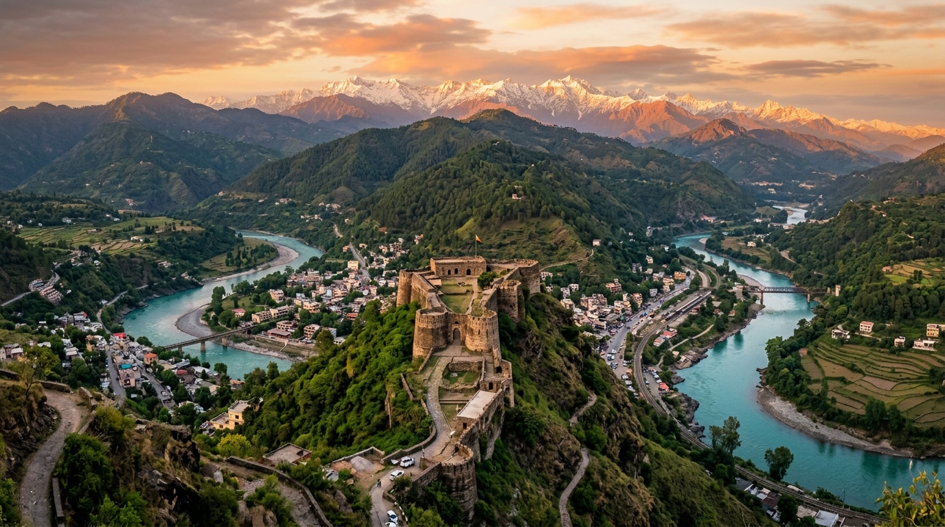
🏰 Bhimgarh Fort (Reasi Town)
Historic 17th-century hill fort built by Raja Bhim Dev and renovated by Maharaja Gulab Singh using stone masonry, high defensive walls, and an impressive entrance gate (*Vijay Pol*).
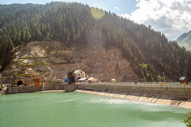
⚡ Salal Dam & Lake Reservoir
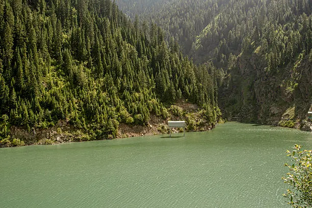
Majestic hydroelectric power project built across the mighty Chenab River forming a turquoise artificial reservoir surrounded by steep forested Shivalik mountains.
Geographic Overview & Terrain Complexity
Jammu & Kashmir occupies a strategic and varied landscape in northern India, positioned at the western end of the Himalayan arc. The region encompasses dramatically different terrain — from subtropical plains in Jammu to alpine meadows, Karewa lacustrine plateaus, deep river gorges, and glaciated peaks in the north — making it one of the world's most geographically complex landforms.
Drained by the Jhelum, Chenab, Indus, and Ravi river systems, the physical geography of Jammu & Kashmir is shaped by active tectonic collision along the Indus Suture Zone (ISZ) and Main Boundary Thrust (MBT), giving rise to unique thermal springs, subterranean caves, and alpine tarn networks.
Comprehensive J&K Geography Registry (118+ Topics)
Filter and search detailed geographical topics across rivers, glaciers, mountain passes, alpine tarns, valleys, Karewa plateaus, hot springs, cave systems, mountain ranges, wetlands, and microclimate soils.
Comprehensive Physical Geography & Geomorphology of Ladakh
An in-depth physical analysis of the Trans-Himalayan cold desert plateau, featuring the Karakoram and Zanskar ranges, glacial river basins, endorheic saline lakes, world-record mountain passes, and extreme alpine periglacial landforms.
🏔️ Mountain Ranges & Tectonic Boundaries
Situated at an altitude ranging from 3,000m to over 7,500m, Ladakh is enclosed by two of the world's greatest mountain systems: the Karakoram Range to the north and the Great Himalayan Range to the south. The central Ladakh Range forms the watershed between the Indus and Shyok rivers, while the rugged Zanskar Range dominates the southern plateau.
🌊 Glacial River Hydrology & Valleys
The Indus River serves as the hydrological spine of Ladakh, flowing northwest through Leh and Skardu. Key glacial tributaries include the Shyok River (fed by Rimo Glacier), the Nubra River (fed by the 76-km Siachen Glacier), and the Zanskar River, famous for its winter frozen ice trek (Chadar).
🏞️ Endorheic High-Altitude Saline Lakes
Ladakh features closed-basin endorheic lakes formed by tectonic uplift and glacial runoff:
• Pangong Tso (4,350m): A 134-km long brackish lake extending into Tibet.
• Tso Moriri (4,522m): A Ramsar wetland sanctuary for black-necked cranes.
• Tso Kar (4,530m): A high-altitude salt lake with crystalline white evaporite deposits.
❄️ Cold Desert Geomorphology & Passes
Lying in the rain shadow of the Himalayas, Ladakh receives under 100 mm of annual rainfall. It exhibits extreme diurnal temperature swings (+30°C in summer to -35°C in winter), intense frost-shattering weathering, and sand dunes in Hunder. High-altitude connectivity is maintained through world-record mountain passes:
• Umling La (5,798m / 19,024ft): World's highest motorable pass.
• Khardung La (5,359m) & Chang La (5,360m).
🏔️ Greater Geographic & Frontier Valley Gazetteer
Comprehensive physical, cultural, and ecological survey of the Trans-Himalayan massifs, high Karakoram corridors, glacial lake basins, and frontier mountain settlements across the Greater Kashmir and Northern Karakoram region:
1. Hunza Valley (The "Shangri-La")
Gojil & KarakoramWorld-famous mountain valley celebrated for spring apricot blossoms, golden autumn poplar terraces, and centuries-old Wakhi and Burusho culture.
- Attabad Lake: Turquoise glacial lake formed by a massive 2010 mountain landslide along the Karakoram Highway.
- Passu Cones (Cathedral Peaks): Serrated, tooth-like granite needles rising dramatically against the sky.
- Hussaini Suspension Bridge: Iconic aerial rope-and-plank bridge over the Hunza River torrent.
- Baltit & Altit Forts: Ancient 700-year-old timber and stone fortified royal castles overlooking the valley.
2. Skardu & Baltistan ("Little Tibet")
Gateway to K2The mountaineering capital of the Karakoram at the confluence of the Indus and Shigar rivers, acting as the primary launchpad for K2 (8,611m), Broad Peak, and the Gasherbrums.
- Deosai Plains: The "Land of Giants"—the world's 2nd-highest plateau (4,114m), home to Himalayan brown bears and vast summer wildflowers.
- Katpana Cold Desert: High-altitude white sand dunes nestled against snow-capped peaks (Sarfaranga).
- Lower Kachura Lake (Shangrila): Serene lake basin with pagoda-style chalets on the water.
- Manthoka & Khamosh Waterfalls: Glacial cascades plunging over high granite canyon walls.
3. Astore Valley (Minimarg & Rainbow Lake)
Deosai GatewayRevered as "Heaven on Earth", an untouched high-altitude valley basin renowned for zero commercialization and dense fir-covered mountain passes.
- Minimarg: High-altitude Swiss-style alpine bowl with carpeted meadows, wooden chalets, and rushing streams.
- Rainbow Lake (Domel): Color-shifting high tarn that reflects turquoise, emerald, and amber hues throughout the day.
- Rama Lake & Meadow: Pine-encircled glacial lake at the base of the southern flank of Nanga Parbat.
- Gudai Valley: Virgin conifer-clad defile with crystal trout streams and pastoral livestock trails.
4. Fairy Meadows & Nanga Parbat
8,126m GiantA high grassland plateau (3,300m) situated near the Raikot Glacier, offering an unobstructed up-close view of Nanga Parbat (8,126m), the 9th-highest peak in the world.
- Raikot Bridge Jeep Trail: One of the world's most dramatic mountain cliff roads carved into the Indus gorge.
- Beyal Camp: High alpine birch forest campsite on the edge of the churning Raikot glacial moraine.
- Nanga Parbat Basecamp: Glacial amphitheater looking directly up the colossal 4,000-meter sheer ice face.
5. Neelum Valley & Sharda Peeth
Kishanganga BasinA 240-km long bow-shaped gorge along the Kishanganga (Neelum) River, dense with deodar forests, wooden hamlets, and historic civilizational ruins.
- Sharda Peeth Ruins: 6th–8th century university and temple dedicated to the goddess of learning, the ancient heart of Kashmiri Sanskrit scholarship.
- Arang Kel: The "Pearl of Neelum"—a scenic plateau village perched 8,379 ft above the valley floor.
- Taobat (Tao Bat): The final frontier village at the confluence of the Neelum and Kutton rivers.
- Pir Chinasi: High-altitude mountain ridge (9,500 ft) offering sweeping 360° views across Neelum and Jhelum valleys.
6. Jhelum Valley, Leepa & Baboon Valley
Pir Panjal RidgesDense pine valleys, roaring river gorges, and remote alpine lakes located along the southern flank of the Pir Panjal Range.
- Leepa Valley & Reshipora: Emerald terraced rice fields and multi-storied traditional wooden houses in Danna village.
- Chitta Katha Lake: A holy high-altitude glacial tarn (13,500 ft) with milky turquoise waters surrounded by alpine flowers.
- Cham Waterfall: Massive multi-tiered waterfall cascading through dense foliage in Chinari village.
- Baboon Valley: Untouched wilderness meadow basin home to mountain wildlife and raw trekking trails.
7. Ghizer District ("The Land of Lakes")
Trout & GlaciersWesternmost district linking Gilgit to Chitral via Shandur Pass, renowned for crystal turquoise waters and serene trout-rich river valleys.
- Phander Lake ("Blue Diamond"): Emerald-green lake nestled in a wide poplar basin, famous for brown trout angling.
- Handarap Lake: High-altitude crystal tarn framed by snow-capped peaks near the Shandur Pass.
- Ishkoman & Yasin Valleys: Deep glaciated valleys leading to Phuparash (Golden Peak) and ancient Sher Qila Fort.
8. Karakoram Glaciers & Frontier Enclaves
Extreme High ValleysIsolated alpine frontiers, historic Silk Road corridors, and ancient cultural bastions:
- Nagar Valley & Hoper Glacier: Walk-up black glacier ice wall and Duikar (Eagle's Nest) views of Rakaposhi (7,788m) and Diran.
- Shimshal Valley (3,100m): Highest permanent settlement in Hunza, Wakhi mountaineers, Yazghil Glacier, and Minglik Sar.
- Khaplu & Ghangche: 900-yr-old Chaqchan Mosque, Khaplu Royal Palace, Shyok River, and Siachen-facing Hushe Valley.
- Naltar Valley: High alpine turquoise lake chain, winter ski slopes, and golden autumn birch forests.
- Broghil Valley & Karambar Lake (4,304m): Land of 30+ lakes on the Wakhan Corridor border with traditional yak polo.
- Kalash Valleys (Chitral): Indigenous animist Kalash culture (Bumburet, Rumbur, Biran) with vibrant folk traditions.
The 5 Major Physiographic Zones of J&K
From the southwest subtropical plains to the trans-Himalayan glaciated heights, the physical geography of Jammu & Kashmir is divided into five distinct structural zones from west to east:
🌾 1. The Plains Zone (Jammu Lowlands)
Narrow plains belt along Jammu characterized by interlocking sandy alluvial fans deposited by foothill streams and pediment covered by Pleistocene loams and loess (11,700 to 2.6M years old). Receives 15–20 inches of rainfall during summer monsoon; dominated by thorn scrub and coarse grasses.
⛰️ 2. The Foothills Zone (Outer & Inner Duns)
Rising from 2,000 to 7,000 ft (600–2,100m). Outer zone comprises sandstones and clays folded into long valleys called Duns. Inner zone consists of folded Miocene red sandstones forming steep spurs and alluvium basins surrounding Udhampur and Poonch. Pine forests dominate higher ridges.
🏔️ 3. The Pir Panjal Range
Southernmost Lesser Himalayan rampart with an average crest line of 12,500 ft (3,800m) and peaks reaching 15,000 ft (4,600m). Features an ancient granite, gneiss, and slate core heavily glaciated during the Pleistocene. Drained by the Jhelum, Poonch, and Chenab rivers.
🏞️ 4. The Vale of Kashmir
A deep asymmetrical intermontane basin at 5,300 ft (1,620m) elevation between the Pir Panjal and Great Himalayas. Formerly occupied by ancient Lake Karewa; filled with lacustrine Karewa sediments and Jhelum alluvium. Features rich forest zones: Deodar/Blue Pine/Walnut (up to 7,000ft), Fir/Spruce (to 10,500ft), and Birch/Alpine meadows (above 12,000ft).
🏔️ 5. The Great Himalayas Zone & Bharanzar Peak
Extending along the eastern border, the Great Himalayas contain glaciated peaks exceeding 20,000 ft (6,100m). The highest summit within J&K is Bharanzar Peak in Kishtwar District at an elevation of 21,500 feet (6,550 meters). This zone acts as a dramatic climatic divide, transitioning from the Indian monsoon to the cold, dry continental climate of Central Asia.
🦌 Wildlife Sanctuary & Fauna Highlights
- Hangul (Kashmir Stag - Cervus elaphus hanglu): Critically endangered red deer species protected within Dachigam National Park near Srinagar.
- Markhor (Capra falconeri): World's largest wild goat with spiral horns, inhabiting protected cliff sanctuaries along the Pir Panjal Range.
- Carnivores & Waterfowl: Himalayan Black Bears, Brown Bears, Snow Leopards, and vast winter flocks of migratory game birds and wild ducks in Kashmir wetlands.
| Range | Location | Significance |
|---|---|---|
| Greater Himalayan Range | Northern & Eastern boundary | Main watershed; glaciated peaks including Bharanzar Peak (6,550m in Kishtwar); Zojila pass |
| Pir Panjal Range | SW of Kashmir Valley | Separates Kashmir Valley from Jammu region; Markhor habitat; Banihal pass & Mughal Road |
| Shivalik Hills | Southern fringe | Foothills transitioning to plains; Kandi soil belt; sacred temples & Dun valleys |
| Zaskar Range | Between Kashmir & Ladakh | High-altitude mountain wall framing Suru and Zanskar valleys |
Jammu & Kashmir Botanical Gardens & Wild Floral Bloom Explorer
Discover Asia's largest Tulip garden, purple Saffron crocus, sky-blue alpine poppies, Dal lake lotuses, and lavender valleys with floriculture research facts!
Climate Challenges, Pollution & Ecological Watchdog
🌡️ Glacier Retreat & Water Security
Major glaciers, including Kolahoi, Thajiwas, Machoi, and Drang-Drung, are retreating rapidly, threatening late-summer stream runoff and regional agriculture.
🚗 Diesel Emissions & Black Carbon
Heavy tourist vehicular transit releases black carbon soot that settles on glacier snowpack, reducing albedo and accelerating melting rates.
⛈️ Cloudbursts & Flash Floods
Altered weather patterns have increased localized cloudburst frequencies, triggering sudden mountain flash floods along Veshaw and Lidder rivers.
⛰️ Landslides & Slope Destabilization
Highway widening and tunnel excavation along NH-44 near Ramban cause frequent shooting stone hazards and seasonal blockades.
🗺️ Jammu & Kashmir 20 Districts Quick-Reference & Demographic Matrix
Official administrative division of the Union Territory of Jammu & Kashmir into 10 districts in Jammu Division and 10 districts in Kashmir Division. Source: Census of India & Department of Planning, Development and Monitoring, J&K.
| District | Division | Headquarters | Key Geographical Features | Major River / Basin |
|---|---|---|---|---|
| Srinagar | Kashmir | Srinagar | Dal Lake, Anchar Lake, Zabarwan Range | Jhelum River |
| Jammu | Jammu | Jammu | Shivalik Foothills, Tawi Plains, Akhnoor | Tawi River & Chenab River |
| Anantnag | Kashmir | Anantnag | Verinag Spring, Lidder Valley, Martand | Jhelum Origin (Verinag) & Lidder |
| Baramulla | Kashmir | Baramulla | Gulmarg Apharwat, Wular outflow, Kazinag | Jhelum River |
| Udhampur | Jammu | Udhampur | Devika Sacred River, Patnitop, Pancheri Hills | Tawi & Devika Basins |
| Reasi | Jammu | Reasi | Trikuta Hills (Mata Vaishno Devi), Chenab Arch Bridge, Salal Dam | Chenab River |
| Kishtwar | Jammu | Kishtwar | Kishtwar High Altitude National Park, Saffron Plateau, Paddar Sapphire | Chenab (Chandrabhaga) & Marusudar |
| Kathua | Jammu | Kathua | Gateway to J&K, Basohli Ranjit Sagar Lake, Billawar | Ravi River & Ujh River |
| Doda | Jammu | Doda | Bhaderwah Valley, Jai Valley, Lavender Cultivation | Chenab River & Neeru Stream |
| Ramban | Jammu | Ramban | Chenab River Gorge, Baglihar Hydro Project, Banihal Pass | Chenab River |
| Pulwama | Kashmir | Pulwama | Pampore Saffron Karewas, Rice Bowl of Kashmir | Jhelum & Rambiara |
| Kupwara | Kashmir | Kupwara | Lolab Valley, Karnah, Bangus Valley Plateau | Kishanganga (Neelum) River |
| Ganderbal | Kashmir | Ganderbal | Sonamarg Glacier, Manasbal Lake, Sindh Valley | Sindh River |
| Budgam | Kashmir | Budgam | Doodhpathri Meadow, Yousmarg, Charar-i-Sharief Karewa | Doodhganga & Sukhnag |
| Shopian | Kashmir | Shopian | Apple Town of J&K, Mughal Road Pass to Pir Ki Gali | Rambiara River |
| Kulgam | Kashmir | Kulgam | Aharbal Waterfall (Niagara of Kashmir), Kousarnag Lake | Veshaw River |
| Bandipora | Kashmir | Bandipora | Wular Lake Basin, Gurez Valley (Dardic Shina Culture) | Kishanganga & Madhumati |
| Rajouri | Jammu | Rajouri | Pir Panjal South Slope, Dehra Ki Gali, Thannamandi | Manawar Tawi Basin |
| Poonch | Jammu | Poonch | Surankote Valley, Peer Ki Gali Mughal Road, Poonch Fort | Poonch River |
| Samba | Jammu | Samba | Purmandal Chhota Kashi, Mansar Lake, Calico Printing | Basantar River |
* Data Source Attribution: Census of India & Survey of India Gazetteer Records. Complies with J&K Reorganisation Act (2019).
All historical, demographic, examination, and geographic records across this portal are compiled from authoritative public domain repositories, including the Official Gazette of India (egazette.nic.in), Census of India Demographic Data, India Meteorological Department (IMD), and statutory notifications issued by the J&K Administration & Examination Boards.
🔗 Explore Related Jammu & Kashmir Knowledge Clusters
Cross-Topic Navigation20 Districts Quick Reference: Capitals, Helplines & Key Coordinates
Authoritative administrative contacts, headquarter coordinates, and major landmarks across all 20 districts of J&K.
| District | Division | Headquarters | DC Office Contact | Top Tourism Landmark |
|---|---|---|---|---|
| Srinagar | Kashmir | Srinagar (190001) | 0194-2452182 | Dal Lake, Mughal Gardens, Shankaracharya |
| Jammu | Jammu | Jammu (180001) | 0191-2544254 | Bahu Fort, Raghunath Temple, Mubarak Mandi |
| Baramulla | Kashmir | Baramulla (193101) | 01954-234204 | Gulmarg Gondola, Apharwat Peak, Eco Park |
| Anantnag | Kashmir | Anantnag (192101) | 01932-222337 | Pahalgam Betaab Valley, Martand Sun Temple |
| Reasi | Jammu | Reasi (182311) | 01991-245587 | Mata Vaishno Devi Shrine, Chenab Rail Bridge, Shiv Khori |
| Ganderbal | Kashmir | Ganderbal (191201) | 0194-2416141 | Sonamarg Thajiwas Glacier, Manasbal Lake, Kheer Bhawani |
| Kathua | Jammu | Kathua (184101) | 01922-234641 | Basohli Miniature Painting Heritage, Ranjit Sagar Dam |